Gail and Jerry

HIEDI

HIEDI
HEIDI

Tsunami

Tsunami
Tsunami

Friday, July 22, 2011

Day 22 57.97096N 122.77661W to Toad River

We left our secluded campsite this morning headed for Watson Lake. The weather was rainy and a little cool most of the day. And the scenery again was awesome.

This little guy seemed to be lost. He (or she) is a juvenile moose and we are hoping Mom is around somewhere. It was up by the road and was somewhat startled by the vehicles.

We decided to shorten the day and stopped for the night at Toad River. Again...scenic overkill!
Inside this little log building is a restaurant, gift shop, post office, and no telling what else. It's the only civilization for miles and miles. Oh...and fresh baked cinnamon rolls...MMMMM!

This couple is from New Hampshire. They told us they have been right behind us for a while now. As you travel the Alaska Highway, you tend to start seeing the same people over and over again. It's great to be able to share stories and the "Did you see this?" or "Did you do that?" or "How are the roads up there?"

"Aunt Pam, are you SURE there's no more burgers????"

We are told that in the evening moose come to this pond two or three times a week. Unfortunately, today was not the day. But there were a family of beaver.

The best part of the day! Sitting around the campfire after dinner. We met this couple, Dale and Gayle from Red Deer, AB. They are on their way back home from Alaska. He was a hoot!
Ya just meet the nicest people on the road.

Tomorrow...Watson Lake....Maybe.

Thursday, July 21, 2011

Day 21 Dawson Creek to 57.97096N 122.77661W

We left Dawson Creek about 10:30 deciding to have an easy driving day.  The area surrounding Dawson Creek is largely filled with fields of Canola plants, tens of thousands of acres.  Next time you crack open a bottle of Canola Oil think of this picture of the yellow Canola.


More broken promises from the Chamber of Commerce.  We think they have more signs then actual wildlife.  We did see one roadkill moose in the ditch.  I think they can take down the sign now.


A roadside stop in Pink Mountain for lunch


After the Canola fields we began to see gas and oil sites out in the middle of nowhere.  Ever wonder where the workers stay?   At camps like these that are sprinkled along the road side every 50 miles or so.

We had decided to "Dry Camp" for the evening and found this abandoned / closed Wayside Provincial Park with no hook ups or facilities about 3pm.  We call that roughing it.  We were the only ones around, except this plane on this grass strip.  Theories ranged from Meth lab to Oil Company plane.
 

We made ourselves at home,  fired up our generators and microwaves.  Ahh... yes roughing it,
"SMOOTHLY".

                                Certain that there were bears about Pam had her "Bear Spray"

                                                              And Gail her "Bear Bell"

                                                             Jerry cut wood for a fire.

 Heidi stayed on alert watching for bears.  Not having internet, TV or phone service is not always a bad thing.  We enjoyed the fire and retelling old stories sprinkled with a few new ones.

No bears, no deer, no moose, no caribou, only mosquitos.     I'm thinking of petitioning the Canadian government to replace the pictures of wildlife on their signs with depictions of vicious mosquitos.

Wednesday, July 20, 2011

Day 20 PS

I forgot to mention.........the day time highs have been mid 70's......low 50's at night.

Day 20 Hinton,AB to Dawson Creek, BC

       After an exhausting day off yesterday, we left the KOA this morning. First stop for fuel and tire pressure adjustment. It was during this stop that we discovered that the step had stopped working again. We got it retracted and I removed the fuse. We will do without it. Heidi caught on by the end of the day, but Gail's legs are short and she can't jump as good as Heidi. Oh well, I have to push a little.     
    
                                         
(click photo to enlarge)
                                        

                                                           Now we are off to Highway 40.

I guess it is senic, but we just left Jasper National Park!

Hell, our bus is doing good to make 90mph!

The first (and only) town along this 200+ mi. road is Grande Cache. This little town was created in 1966 as a base for a coal mining operation. Today the population is less than 3,800. Average  family income, $80,000. Average home $224,000.

                             These didn't look like they were worth that much. Lon had to "invesigate".
Actually there were several of these, Ranger Outposts that had been moved here from mountain tops where they were used to watch for forest fires.
Just north of town the bridge had "FAILED" and they had built a temparary. Huh, 44,000 lb. bus and Jeep?

Then came the Wildlife "Sanctuary" where you can't hunt closer than 300m from the road. So, I thought all the wildlife will be close to the road for saftey. We saw one scraggly deer in the next 100 mi. Lon said the Chamber of Commerce put up the carrabu sign, not the highway dept.


We arrived in Grande Prairie, AB bout lunch time. Lon took Pam on a tour of the city, then we met them at the WalMart/McDonalds for lunch. No pics there. Every WalMart looks the same. Then on to Dawson Creek. Just out of town we passed a herd o Elk.

We came across at town named Beaverlodge and the world's largest Beaver. I had a thought on that, but I won't go there.


We finally found Dawson Creek, BC.

The start of the Alaska highway. In 1941, the Japanese attacked Pearl Harbor. This significant event forced the American and Canadian governments to re-evaluate their security. There was an obvious need to shore up and protect the sovereignty of North America. In response, a secure land transportation link was needed to transfer goods, materials, and men from the continental states to Alaska. As one part of the wartime measures, 1,500 miles of road needed to be punched through the vast untamed wilderness of northern Canada and Alaska. Building in these northern areas would not be an easy feat; men and women would battle the mountains, muskegs, and mosquitoes for eight months to finish this vital artery.
On March 9, 1942, Dawson Creek, a small northern Canadian community with a population of 600 people, bustled and swelled with activity when the first train carrying American troops arrived. In a matter of weeks the town's population exploded to 10,000. Seven regiments of American engineers (approximately 11,000 men including three regiments of men with African American heritage) 16,000 civilians from Canada and the United States, and 7,000 pieces of equipment were thrown into action against some of the toughest and most unforgiving wilderness areas in the world. On November 20, 1942, after little over nine months of intense construction, 250 soldiers, civilians, policemen, and government delegations from Canada and the United States, met at mile 1061, known as 'Soldiers Summit', where they cut the ribbon officially opening the 'Alcan' Highway. The total cost for construction of the 1,523 mile route, which also includes 133 major bridges and more than 8,000 culverts which, if placed end to end, would stretch over 57 miles, was about $140 million USD.
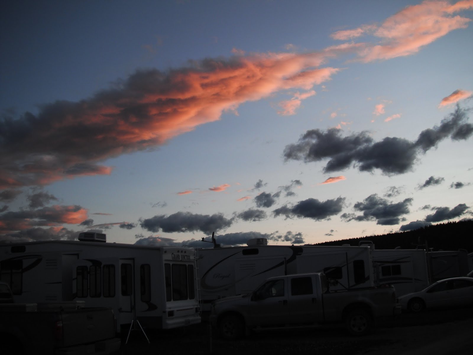
                                            Tomorrow is the begining of the adventure.

                                                           Off to Fort Nelson. Maybe.


Tuesday, July 19, 2011

Day 19 - Hinton, AB

Monday, July 18 was a rest day.   We're all on scenery overload.  If you've followed us along thus far you've seen only a small sampling of the incredible scenery of the Canadian Rockies.   You may not want to travel to Alaska but you should make it a point at sometime in your life to see the CRs.

The day started out with a community breakfast


All hands pitched in


Then off to re-provision.  Where else but......


then they spotted the libation station


Jerry was in the mood, but I thought he was going to need another stent

Case of Coors Light $47.19

Groceries are about 70 to 100% more then the US


Then it was back to work on those pesky steps


With the steps finally fixed, we grilled steaks and enjoyed a beautiful sunset


Tomorrow.........


Monday, July 18, 2011

Day 18 LakeLouise to Hinton, AB

We were up early this morning to get to Lake Louise before the crowds. And we done good. There were very few people here when we arrived. But, we met one that we talked into taking our picture.

(click on photos to enlarge)

Heidi thought the lake was really beautiful . But the water was cold and the fishing sucked.                            

She did meet some new friends. She wanted to play with them, but they were rude Canucks.

There is a nice hotel here. The Fairmont. Basic rooms are $450-$520 a night. Our RV site was $34.00. That will help on our fuel bill.

We went on a path around the lake and saw more wild life.

Heidi posed while several Japanese tourist took pictures. And Gail picked some flowers.
Then back to camp to pack-up, unplug and hit the road to the next national park.
Jasper National Park and the Icefields.
Jasper National Park is the largest national park in the Canadian Rockies, spanning 10,878 km² (4200 mi²). It is located in the province of Alberta, north of Banff National Park and west of the City of Edmonton. The park includes the glaciers of the Columbia Icefield, hot springs, lakes, waterfalls and mountains. Wildlife in the park includes elk, caribou, moose, mule deer, white-tailed deer, mountain goat, bighorn sheep, grizzly bear, black bear, beaver, Rocky Mountain pika, hoary marmot, grey wolf, mountain lion, and wolverine.


We stopped at the "Weaping Wall".

Then Crowfoot Glacier.
Now Lon is picking flowers!
Beautiful wild flowers are in abundance in Canada.

Then we stopped for repairs. Our step would not retract so Lon nig................jury rigged it. And we were back on the road.
On to Jasper, AB where there was no place to park. So they didn't get any of our money.

So off to the RV park in Hinton, AB.

"Quick Pic Pam" got this shot at 50mph.

Finally home-sweet-home.

Tomorrow is a day off. R&R......&R  (rest, restock, and repair).

For those of you just joining our blog (or going back to earlier pages), we have noticed that previous pictures are showing up blank with a red X. We think we know what happened....MAYBE and unfortunately it is not a quick fix. If we get a rainy day and a good fast internet connection, we may try to fix it. Until then, please enjoy the rest of our journey with us.